
Thank you for supporting this site ❤️
Make a donation
Make a donation
La Raye topographic map
Click on the map to display elevation.
Thank you for supporting this site ❤️
Make a donation
Make a donation
About this map
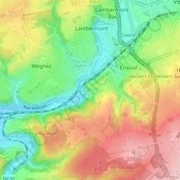
Name: La Raye topographic map, elevation, terrain.
Location: La Raye, Ensival, Verviers, Lüttich, Wallonien, 4800, Belgien (50.55355 5.81456 50.59355 5.85456)
Average elevation: 231 m
Minimum elevation: 135 m
Maximum elevation: 350 m
Thank you for supporting this site ❤️
Make a donation
Make a donation