
Atituiti topographic map
Interactive map
Click on the map to display elevation.
About this map
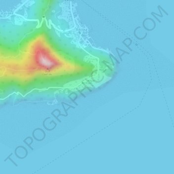
Name: Atituiti topographic map, elevation, terrain.
Average elevation: 37 m
Minimum elevation: 0 m
Maximum elevation: 403 m
Other topographic maps
Click on a map to view its topography, its elevation and its terrain.
Mangareva
France > French Polynesia > Gambier
Mangareva, Gambier, Tuamotu-Gambier, French Polynesia, France
Average elevation: 16 m