
Aalten topographic map
Interactive map
Click on the map to display elevation.
About this map
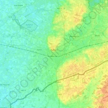
Name: Aalten topographic map, elevation, terrain.
Location: Aalten, Geldern, Niederlande (51.87311 6.47235 51.97437 6.66873)
Average elevation: 28 m
Minimum elevation: 17 m
Maximum elevation: 47 m