
Silver Creek Junction topographic map
Interactive map
Click on the map to display elevation.
About this map
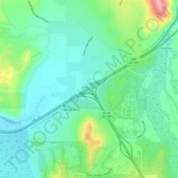
Name: Silver Creek Junction topographic map, elevation, terrain.
Average elevation: 1,982 m
Minimum elevation: 1,942 m
Maximum elevation: 2,091 m