
Thank you for supporting this site ❤️
Make a donation
Make a donation
Rabenstein topographic map
Click on the map to display elevation.
Thank you for supporting this site ❤️
Make a donation
Make a donation
About this map
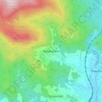
Name: Rabenstein topographic map, elevation, terrain.
Location: Rabenstein, Zwiesel, Landkreis Regen, Bavaria, 94227, Germany (49.01994 13.18288 49.05994 13.22288)
Average elevation: 712 m
Minimum elevation: 563 m
Maximum elevation: 1,040 m
Thank you for supporting this site ❤️
Make a donation
Make a donation