
Thank you for supporting this site ❤️
Make a donation
Make a donation
Delisle topographic map
Click on the map to display elevation.
Thank you for supporting this site ❤️
Make a donation
Make a donation
About this map
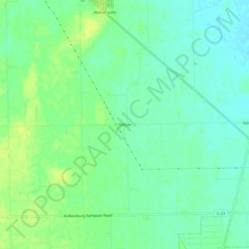
Name: Delisle topographic map, elevation, terrain.
Location: Delisle, Darke County, Ohio, 45304, United States (39.99949 -84.59412 40.03949 -84.55412)
Average elevation: 321 m
Minimum elevation: 313 m
Maximum elevation: 330 m
Thank you for supporting this site ❤️
Make a donation
Make a donation
Other topographic maps
Click on a map to view its topography, its elevation and its terrain.