
Grüna topographic map
Interactive map
Click on the map to display elevation.
About this map
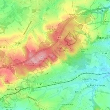
Name: Grüna topographic map, elevation, terrain.
Location: Grüna, Chemnitz, Sachsen, 09224, Deutschland (50.80146 12.72753 50.84977 12.81913)
Average elevation: 385 m
Minimum elevation: 320 m
Maximum elevation: 480 m