
Thank you for supporting this site ❤️
Make a donation
Make a donation
Vanur topographic map
Click on the map to display elevation.
Thank you for supporting this site ❤️
Make a donation
Make a donation
About this map
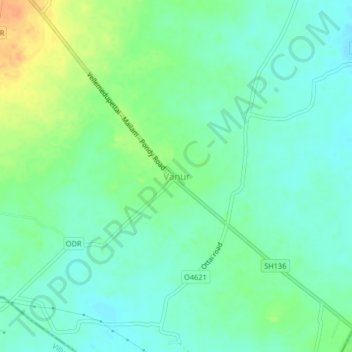
Name: Vanur topographic map, elevation, terrain.
Location: Vanur, Viluppuram, Tamil Nadu, 605109, India (12.00445 79.70643 12.04445 79.74643)
Average elevation: 28 m
Minimum elevation: 16 m
Maximum elevation: 52 m
Thank you for supporting this site ❤️
Make a donation
Make a donation
Other topographic maps
Click on a map to view its topography, its elevation and its terrain.