
Bray topographic map
Interactive map
Click on the map to display elevation.
About this map
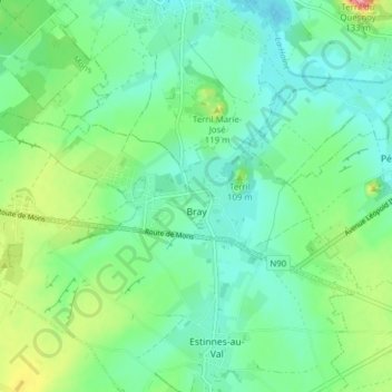
Name: Bray topographic map, elevation, terrain.
Location: Bray, Binche, La Louvière, Hainaut, Wallonia, Belgium (50.42135 4.05585 50.44241 4.13341)
Average elevation: 73 m
Minimum elevation: 44 m
Maximum elevation: 148 m
Other topographic maps
Click on a map to view its topography, its elevation and its terrain.
La Louvière
Belgium > Hainaut > La Louvière
La Louvière, Hainaut, Wallonia, 7100, Belgium
Average elevation: 113 m