
Río Purús topographic map
Interactive map
Click on the map to display elevation.
About this map
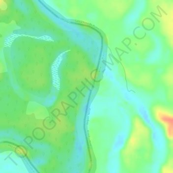
Name: Río Purús topographic map, elevation, terrain.
Location: Río Purús, Purús, Provincia de Purús, Ucayali, Perú (-9.49033 -70.51489 -9.48431 -70.51185)
Average elevation: 205 m
Minimum elevation: 186 m
Maximum elevation: 235 m