Geolocate

Odessa topographic map

Interactive map

Click on the map to display elevation.

About this map

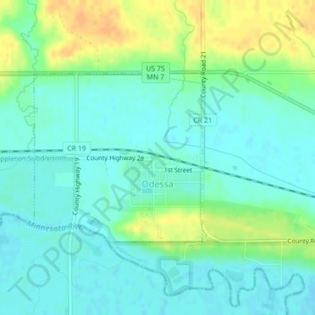
Name: Odessa topographic map, elevation, terrain.

Location: Odessa, Big Stone County, Minnesota, United States (45.25467 -96.34399 45.26918 -96.32342)

Average elevation: 299 m

Minimum elevation: 288 m

Maximum elevation: 319 m

Other topographic maps

Click on a map to view its topography, its elevation and its terrain.

Johnson

United States > Minnesota > Big Stone County

Johnson, Big Stone County, Minnesota, United States

Average elevation: 346 m

Ortonville

United States > Minnesota > Big Stone County

Ortonville, Big Stone County, Minnesota, 56278, United States

Average elevation: 318 m

Barry

United States > Minnesota > Big Stone County

Barry, Big Stone County, Minnesota, 56210, United States

Average elevation: 338 m

Correll

United States > Minnesota > Big Stone County

Correll, Big Stone County, Minnesota, United States

Average elevation: 299 m

Beardsley

United States > Minnesota > Big Stone County

Beardsley, Big Stone County, Minnesota, United States

Average elevation: 336 m

Clinton

United States > Minnesota > Big Stone County

Clinton, Big Stone County, Minnesota, 56225, United States

Average elevation: 352 m

Graceville

United States > Minnesota > Big Stone County

Graceville, Big Stone County, Minnesota, 56240, United States

Average elevation: 337 m