
Pitcairn Islands topographic map
Interactive map
Click on the map to display elevation.
About this map
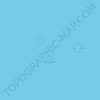
Name: Pitcairn Islands topographic map, elevation, terrain.
Location: Pitcairn Islands (-25.28021 -130.97467 -23.70698 -124.55183)
Average elevation: 0 m
Minimum elevation: 0 m
Maximum elevation: 135 m
Other topographic maps
Click on a map to view its topography, its elevation and its terrain.