
Pandhurli topographic map
Interactive map
Click on the map to display elevation.
About this map
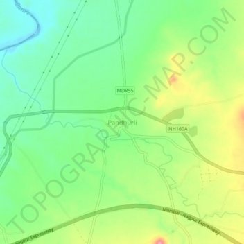
Name: Pandhurli topographic map, elevation, terrain.
Location: Pandhurli, Sinnar, Nashik, Maharashtra, 422502, India (19.80996 73.83495 19.84996 73.87495)
Average elevation: 589 m
Minimum elevation: 544 m
Maximum elevation: 660 m