
Bush Mill topographic map
Interactive map
Click on the map to display elevation.
About this map
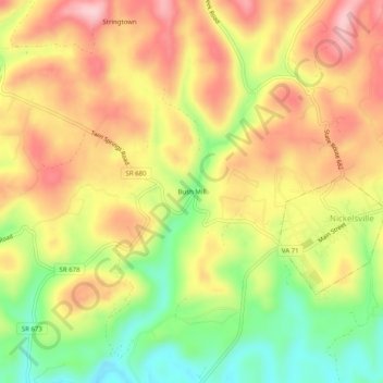
Name: Bush Mill topographic map, elevation, terrain.
Location: Bush Mill, Scott County, Virginia, 24271, USA (36.73566 -82.45543 36.77566 -82.41543)
Average elevation: 597 m
Minimum elevation: 482 m
Maximum elevation: 696 m