
Montelungo Terme topographic map
Interactive map
Click on the map to display elevation.
About this map
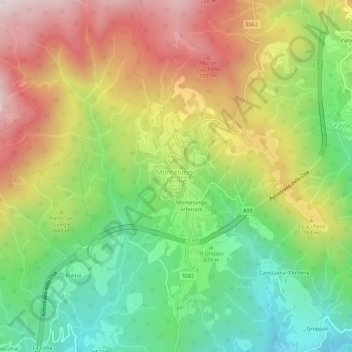
Name: Montelungo Terme topographic map, elevation, terrain.
Location: Montelungo Terme, Pontremoli, Massa-Carrara, Toscana, Italia (44.42707 9.88809 44.46707 9.92809)
Average elevation: 822 m
Minimum elevation: 407 m
Maximum elevation: 1,336 m