
Allmuthen topographic map
Interactive map
Click on the map to display elevation.
About this map
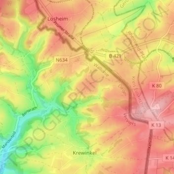
Name: Allmuthen topographic map, elevation, terrain.
Location: Allmuthen, Büllingen, Verviers, Lüttich, Wallonien, Belgien (50.32506 6.36472 50.36506 6.40472)
Average elevation: 569 m
Minimum elevation: 480 m
Maximum elevation: 632 m