
Ourthe topographic map
Interactive map
Click on the map to display elevation.
About this map
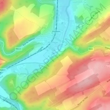
Name: Ourthe topographic map, elevation, terrain.
Location: Ourthe, Hamoir, Huy, Liège, Wallonia, 4180, Belgium (50.42137 5.53130 50.42320 5.53470)
Average elevation: 179 m
Minimum elevation: 108 m
Maximum elevation: 256 m
Other topographic maps
Click on a map to view its topography, its elevation and its terrain.