
Thank you for supporting this site ❤️
Make a donation
Make a donation
Senge topographic map
Click on the map to display elevation.
Thank you for supporting this site ❤️
Make a donation
Make a donation
About this map
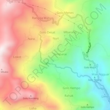
Name: Senge topographic map, elevation, terrain.
Location: Senge, Manggarai Barat, East Nusa Tenggara, Indonesia (-8.64602 120.02969 -8.60602 120.06969)
Average elevation: 575 m
Minimum elevation: 171 m
Maximum elevation: 1,010 m
Thank you for supporting this site ❤️
Make a donation
Make a donation