
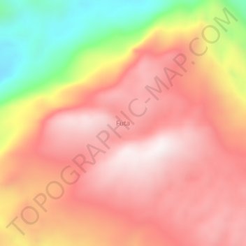
Futa topographic map
Interactive map
Click on the map to display elevation.
About this map
Name: Futa topographic map, elevation, terrain.
Location: Futa, Papua Barat, Indonesia (-3.85250 134.20554 -3.81250 134.24554)
Average elevation: 789 m
Minimum elevation: 208 m
Maximum elevation: 1,119 m