
十四番地 topographic map
Interactive map
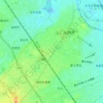
Click on the map to display elevation.
About this map
Name: 十四番地 topographic map, elevation, terrain.
Location: 十四番地, ふじみ野市, Präfektur Saitama, Japan (35.87440 139.51388 35.87541 139.51546)
Average elevation: 20 m
Minimum elevation: 6 m
Maximum elevation: 45 m