
Thank you for supporting this site ❤️
Make a donation
Make a donation
Tinerkouk topographic map
Click on the map to display elevation.
Thank you for supporting this site ❤️
Make a donation
Make a donation
About this map
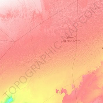
Name: Tinerkouk topographic map, elevation, terrain.
Location: Tinerkouk, Tinerkouk District, Timimoune, 01013, Algeria (29.28221 0.48357 31.65961 2.05899)
Average elevation: 487 m
Minimum elevation: 205 m
Maximum elevation: 750 m
Thank you for supporting this site ❤️
Make a donation
Make a donation