
Alton topographic map
Interactive map
Click on the map to display elevation.
About this map
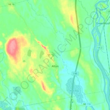
Name: Alton topographic map, elevation, terrain.
Location: Alton, Penobscot County, Maine, United States (44.98145 -68.84231 45.10657 -68.68091)
Average elevation: 48 m
Minimum elevation: 28 m
Maximum elevation: 104 m