
Madroñera topographic map
Interactive map
Click on the map to display elevation.
About this map
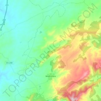
Name: Madroñera topographic map, elevation, terrain.
Location: Madroñera, Trujillo, Cáceres, Extremadura, España (39.39345 -5.82089 39.52694 -5.64207)
Average elevation: 602 m
Minimum elevation: 447 m
Maximum elevation: 999 m