
Jänickendorf topographic map
Interactive map
Click on the map to display elevation.
About this map
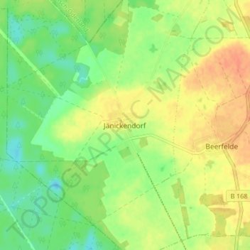
Name: Jänickendorf topographic map, elevation, terrain.
Location: Jänickendorf, Steinhöfel, Oder-Spree, Brandenburg, Duitsland (52.41333 13.99666 52.45333 14.03666)
Average elevation: 57 m
Minimum elevation: 38 m
Maximum elevation: 75 m