
Steptoe topographic map
Interactive map
Click on the map to display elevation.
About this map
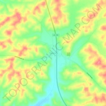
Name: Steptoe topographic map, elevation, terrain.
Location: Steptoe, Whitman County, Washington, 99174, United States (46.98600 -117.37602 47.02600 -117.33602)
Average elevation: 736 m
Minimum elevation: 691 m
Maximum elevation: 780 m