
Thank you for supporting this site ❤️
Make a donation
Make a donation
Blue Hill topographic map
Click on the map to display elevation.
Thank you for supporting this site ❤️
Make a donation
Make a donation
About this map
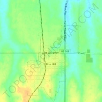
Name: Blue Hill topographic map, elevation, terrain.
Location: Blue Hill, Webster County, Nebraska, 68930, United States (40.32278 -98.45788 40.34938 -98.43908)
Average elevation: 596 m
Minimum elevation: 582 m
Maximum elevation: 610 m
Thank you for supporting this site ❤️
Make a donation
Make a donation