
Thank you for supporting this site ❤️
Make a donation
Make a donation
Hämerten topographic map
Click on the map to display elevation.
Thank you for supporting this site ❤️
Make a donation
Make a donation
About this map
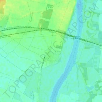
Name: Hämerten topographic map, elevation, terrain.
Location: Hämerten, Tangermünde, Stendal, Sachsen-Anhalt, Deutschland (52.57522 11.96162 52.61024 12.00379)
Average elevation: 35 m
Minimum elevation: 26 m
Maximum elevation: 52 m
Thank you for supporting this site ❤️
Make a donation
Make a donation