
Chergui topographic map
Interactive map
Click on the map to display elevation.
About this map
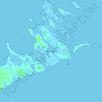
Name: Chergui topographic map, elevation, terrain.
Location: Chergui, El Attaya, Kerkennah, Gouvernorat Sfax, 3035, Tunisie (34.66298 11.12135 34.83095 11.31795)
Average elevation: 0 m
Minimum elevation: -6 m
Maximum elevation: 9 m