
Louisville topographic map
Interactive map
Click on the map to display elevation.
About this map
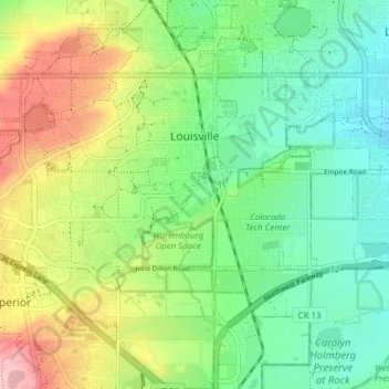
Name: Louisville topographic map, elevation, terrain.
Average elevation: 1,642 m
Minimum elevation: 1,585 m
Maximum elevation: 1,744 m
Other topographic maps
Click on a map to view its topography, its elevation and its terrain.
Boulder
Vereinigte Staaten von Amerika > Colorado > Boulder County > Boulder
Boulder, Boulder County, Colorado, 80306, Vereinigte Staaten von Amerika
Average elevation: 1,977 m