
Thank you for supporting this site ❤️
Make a donation
Make a donation
Hålia topographic map
Click on the map to display elevation.
Thank you for supporting this site ❤️
Make a donation
Make a donation
About this map
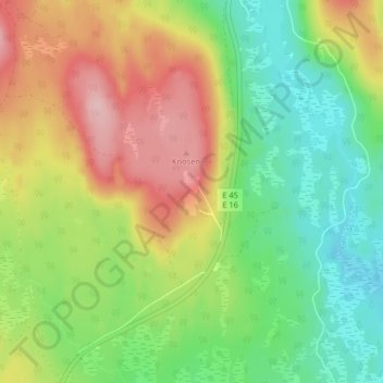
Name: Hålia topographic map, elevation, terrain.
Location: Hålia, Malung-Sälens kommun, Dalarna County, Sweden (60.55948 13.55016 60.59948 13.59016)
Average elevation: 436 m
Minimum elevation: 364 m
Maximum elevation: 535 m
Thank you for supporting this site ❤️
Make a donation
Make a donation