
Spodnja Rečica topographic map
Interactive map
Click on the map to display elevation.
About this map
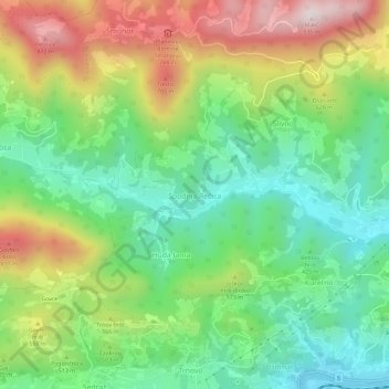
Name: Spodnja Rečica topographic map, elevation, terrain.
Location: Spodnja Rečica, Laško, 3270, Slovenië (46.14502 15.17088 46.18502 15.21088)
Average elevation: 478 m
Minimum elevation: 209 m
Maximum elevation: 914 m