
Thank you for supporting this site ❤️
Make a donation
Make a donation
Athens topographic map
Click on the map to display elevation.
Thank you for supporting this site ❤️
Make a donation
Make a donation
About this map
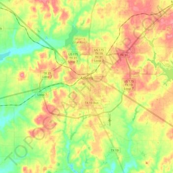
Name: Athens topographic map, elevation, terrain.
Location: Athens, Henderson County, Texas, United States (32.15688 -95.91720 32.23531 -95.71901)
Average elevation: 140 m
Minimum elevation: 98 m
Maximum elevation: 183 m
Thank you for supporting this site ❤️
Make a donation
Make a donation