
Nkhate topographic map
Interactive map
Click on the map to display elevation.
About this map
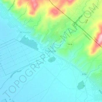
Name: Nkhate topographic map, elevation, terrain.
Location: Nkhate, Chikwawa, Southern Region, Malawi, Malawi (-16.16399 34.93673 -16.12399 34.97673)
Average elevation: 122 m
Minimum elevation: 68 m
Maximum elevation: 313 m