
Thank you for supporting this site ❤️
Make a donation
Make a donation
Westport topographic map
Click on the map to display elevation.
Thank you for supporting this site ❤️
Make a donation
Make a donation
About this map
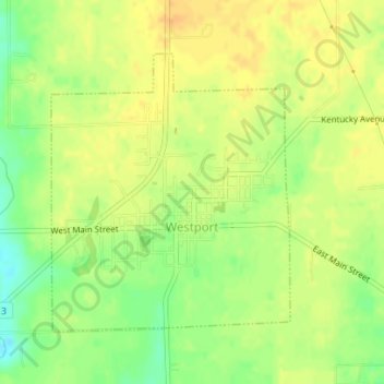
Name: Westport topographic map, elevation, terrain.
Location: Westport, Decatur County, Indiana, 47283, United States (39.16848 -85.58581 39.18805 -85.56412)
Average elevation: 249 m
Minimum elevation: 230 m
Maximum elevation: 259 m
Thank you for supporting this site ❤️
Make a donation
Make a donation