
Gajyo topographic map
Click on the map to display elevation.
About this map
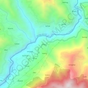
Name: Gajyo topographic map, elevation, terrain.
Location: Gajyo, Rajgarh, Sirmaur, Himachal Pradesh, India (30.92680 77.26316 30.96680 77.30316)
Average elevation: 1,320 m
Minimum elevation: 962 m
Maximum elevation: 2,058 m