
Chiloquin topographic map
Click on the map to display elevation.
Chiloquin
Chiloquin is at an elevation of 4,180 feet (1,270 m) in Klamath County. The city is slightly east of U.S. Route 97 and slightly north of its intersection with Oregon Route 62. A short east–west highway, Oregon Route 422, links Route 97 at Chiloquin to Route 62 slightly south of Klamath Agency. By highway, Chiloquin is about 26 miles (42 km) north of Klamath Falls and 253 miles (407 km) south of Portland.
About this map
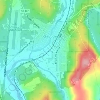
Name: Chiloquin topographic map, elevation, terrain.
Location: Chiloquin, Klamath County, Oregon, United States (42.56307 -121.88208 42.58478 -121.85693)
Average elevation: 1,302 m
Minimum elevation: 1,262 m
Maximum elevation: 1,395 m
Other topographic maps
Click on a map to view its topography, its elevation and its terrain.