
Indiranagar topographic map
Interactive map
Click on the map to display elevation.
About this map
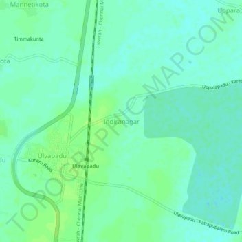
Name: Indiranagar topographic map, elevation, terrain.
Location: Indiranagar, Prakasam, Andhra Pradesh, 523292, India (15.15328 79.99921 15.19328 80.03921)
Average elevation: 8 m
Minimum elevation: 2 m
Maximum elevation: 14 m