
Isha topographic map
Click on the map to display elevation.
About this map
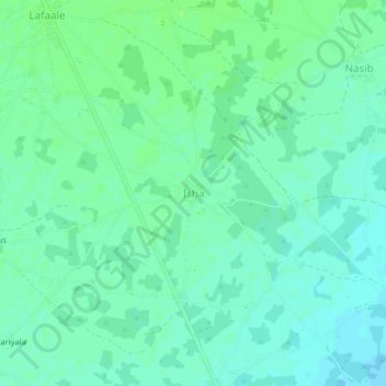
Name: Isha topographic map, elevation, terrain.
Location: Isha, Baidoa District, Bay, South West, Somalia (3.17734 43.56536 3.21734 43.60536)
Average elevation: 495 m
Minimum elevation: 490 m
Maximum elevation: 500 m