
Make a donation
Gunnison topographic map
Click on the map to display elevation.
Make a donation
Gunnison
Also in 1880, the cattle industry in Gunnison was established. Realizing the poor conditions for farming (with only about eleven inches of rainfall annually and the short growing season due to the high elevation and alpine environment) the local farmers turned to ranching and began breeding cattle. To do this effectively, they had to clear and level fields for grazing purposes. Irrigation ditches also had to be cut into the ground to properly irrigate the fields in order to grow hay for the horses and cattle. Many of these practices are still in use, which can be seen while driving through and around the town to the various ranches that are still in operation.
Make a donation
About this map
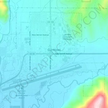
Name: Gunnison topographic map, elevation, terrain.
Location: Gunnison, Gunnison County, Colorado, United States (38.52956 -106.95098 38.55905 -106.90267)
Average elevation: 2,369 m
Minimum elevation: 2,332 m
Maximum elevation: 2,633 m
Make a donation