
Thikariya topographic map
Interactive map
Click on the map to display elevation.
About this map
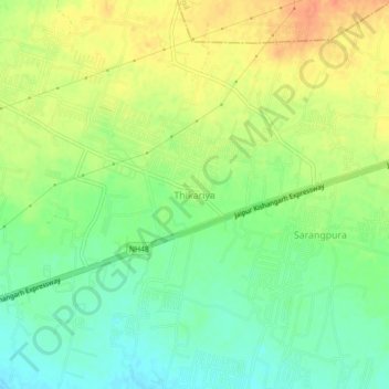
Name: Thikariya topographic map, elevation, terrain.
Average elevation: 388 m
Minimum elevation: 367 m
Maximum elevation: 410 m
Other topographic maps
Click on a map to view its topography, its elevation and its terrain.
Haldighati Park
India > Rajasthan > Sanganer Tehsil > Jaipur Municipal Corporation
Average elevation: 372 m
Haldighati Park
India > Rajasthan > Sanganer Tehsil > Jaipur Municipal Corporation
Average elevation: 372 m
Ranvir shekhawat park
India > Rajasthan > Sanganer Tehsil > Jaipur Municipal Corporation
Average elevation: 413 m