
Sorna topographic map
Interactive map
Click on the map to display elevation.
About this map
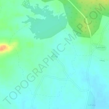
Name: Sorna topographic map, elevation, terrain.
Location: Sorna, Tumsar Taluka, Bhandara District, Maharashtra, India (21.42250 79.57733 21.44339 79.59561)
Average elevation: 298 m
Minimum elevation: 287 m
Maximum elevation: 325 m