
Thank you for supporting this site ❤️
Make a donation
Make a donation
Krüden topographic map
Click on the map to display elevation.
Thank you for supporting this site ❤️
Make a donation
Make a donation
About this map
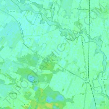
Name: Krüden topographic map, elevation, terrain.
Location: Krüden, Aland, Seehausen, Stendal, Sachsen-Anhalt, Deutschland (52.89691 11.63901 52.95601 11.75404)
Average elevation: 22 m
Minimum elevation: 17 m
Maximum elevation: 30 m
Thank you for supporting this site ❤️
Make a donation
Make a donation