
Virklund topographic map
Interactive map
Click on the map to display elevation.
About this map
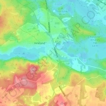
Name: Virklund topographic map, elevation, terrain.
Location: Virklund, Silkeborg Kommune, Jutland central, 8653, Danemark (56.10636 9.54306 56.14636 9.58306)
Average elevation: 60 m
Minimum elevation: 19 m
Maximum elevation: 126 m