
La Fresneda / la Freixneda topographic map
Interactive map
Click on the map to display elevation.
About this map
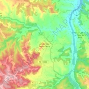
Name: La Fresneda / la Freixneda topographic map, elevation, terrain.
Average elevation: 530 m
Minimum elevation: 401 m
Maximum elevation: 706 m