
肝付町 topographic map
Interactive map
Click on the map to display elevation.
About this map
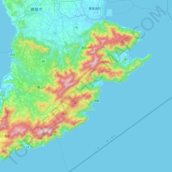
Name: 肝付町 topographic map, elevation, terrain.
Location: 肝付町, 肝属郡, Prefectura de Kagoshima, Japón (31.04239 130.88225 31.39641 131.26686)
Average elevation: 134 m
Minimum elevation: -1 m
Maximum elevation: 935 m