
Baseri topographic map
Interactive map
Click on the map to display elevation.
About this map
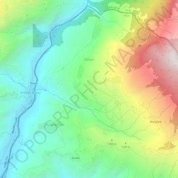
Name: Baseri topographic map, elevation, terrain.
Location: Baseri, Dhading, Bagmati, Central Development Region, Nepal (28.07392 84.83690 28.12278 84.89592)
Average elevation: 1,119 m
Minimum elevation: 507 m
Maximum elevation: 2,258 m