
Takli topographic map
Click on the map to display elevation.
About this map
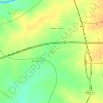
Name: Takli topographic map, elevation, terrain.
Location: Takli, Nijampur, Arvi, Wardha, Maharashtra, 442302, India (20.77267 78.30589 20.81267 78.34589)
Average elevation: 276 m
Minimum elevation: 258 m
Maximum elevation: 289 m