
Ravera topographic map
Interactive map
Click on the map to display elevation.
About this map
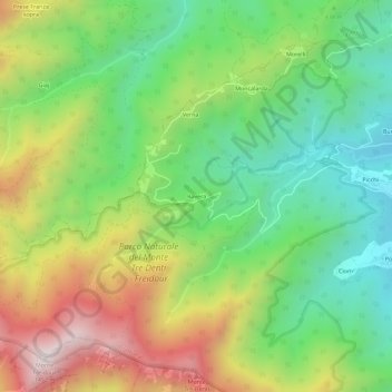
Name: Ravera topographic map, elevation, terrain.
Location: Ravera, Turin, Piémont, Italie (44.96975 7.30500 45.00975 7.34500)
Average elevation: 862 m
Minimum elevation: 476 m
Maximum elevation: 1,446 m