
Río Loa topographic map
Interactive map
Click on the map to display elevation.
About this map
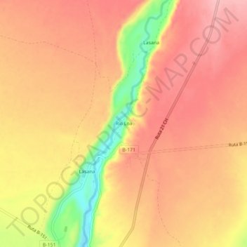
Name: Río Loa topographic map, elevation, terrain.
Location: Río Loa, Provincia de El Loa, Región de Antofagasta, Chile (-22.28152 -68.64519 -22.24152 -68.60519)
Average elevation: 2,681 m
Minimum elevation: 2,585 m
Maximum elevation: 2,725 m