
Fort Liberty topographic map
Interactive map
Click on the map to display elevation.
About this map
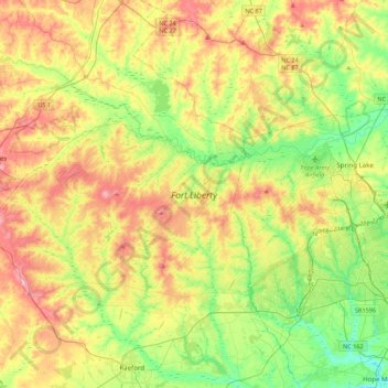
Name: Fort Liberty topographic map, elevation, terrain.
Location: Fort Liberty, Hoke County, North Carolina, United States (35.03061 -79.38145 35.25124 -78.94472)
Average elevation: 88 m
Minimum elevation: 27 m
Maximum elevation: 170 m
Other topographic maps
Click on a map to view its topography, its elevation and its terrain.
Raeford
United States > North Carolina > Hoke County
Raeford, Hoke County, North Carolina, United States
Average elevation: 75 m